Benthic Surveys — Scallops & Habitats
Non-destructive seabed surveys for stock assessments and benthic habitat monitoring. We survey scallop beds with high accuracy, supporting sustainable fisheries using dredge-free stock monitoring.
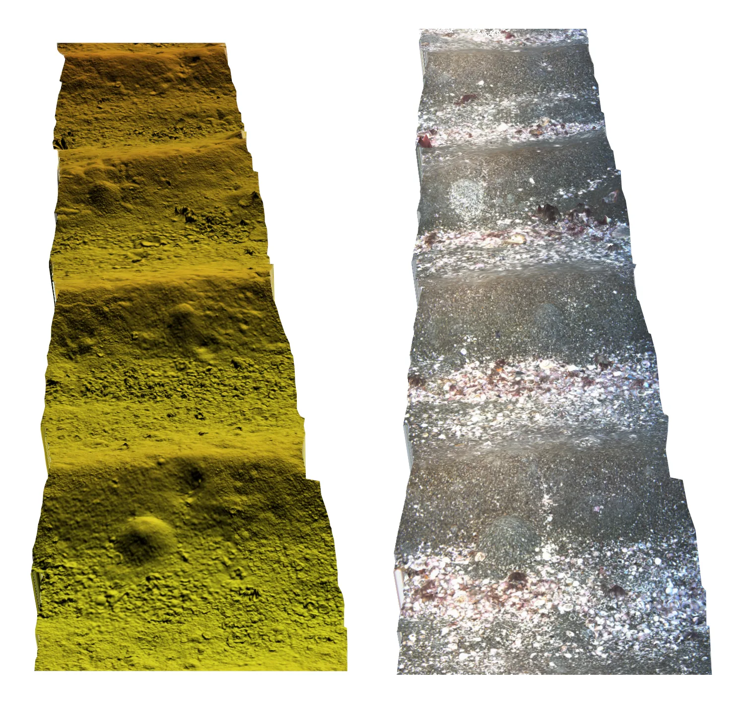
How we scan
Our AUV autonomously scans the seabed in sub-mm resolution with high consistency, enabling accurate surveys of benthic structures and species. The scanning altitude is kept constant even over undulating seabed giving a 1m wide swath width. Bright strobe lights synchronised with our cameras provide consistent image lighting and colour. Seabed scans are georeferenced and reconstructed using structure-from-motion photogrammetry giving high detail 3D representations.
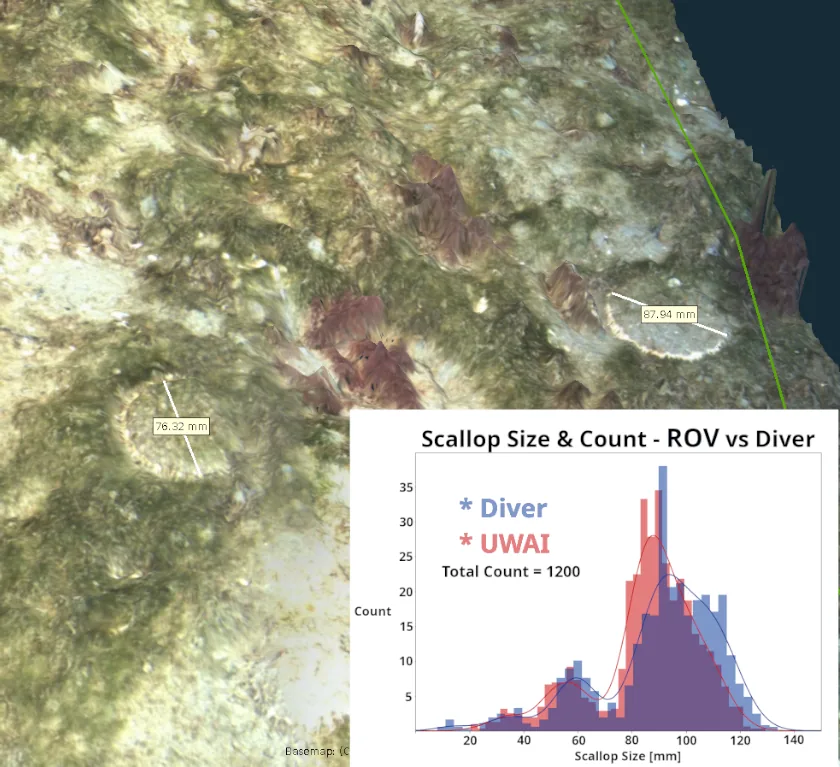
Validated with science partners
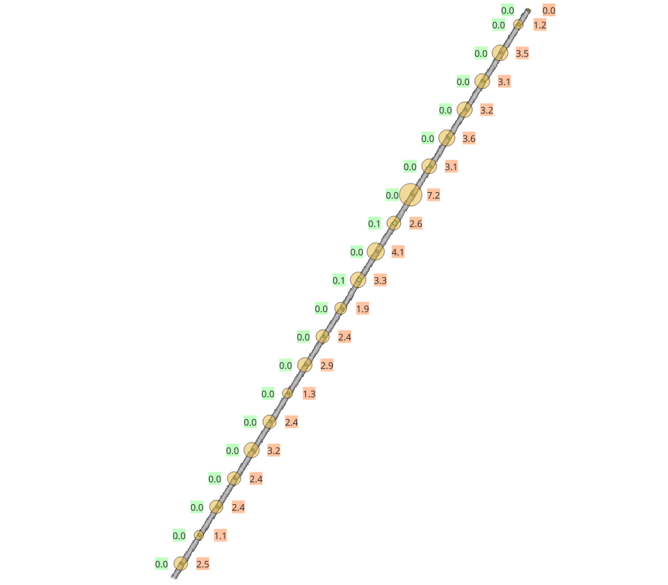
We work with science partners to validate the accuracy of our automated AI surveys, for example, Earth Sciences NZ for monitoring of NZ cryptic scallops for fisheries regulators. For scallop surveys, the high resolution imaging results in a detection efficiency of 89% for large New Zealand cryptic scallops (Pecten novaezelandiae).
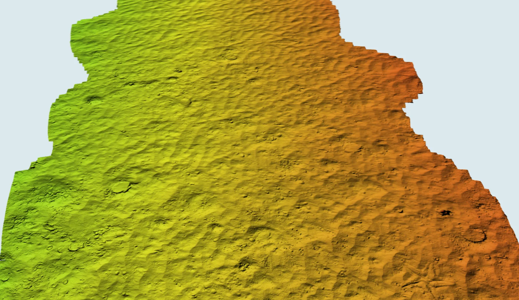
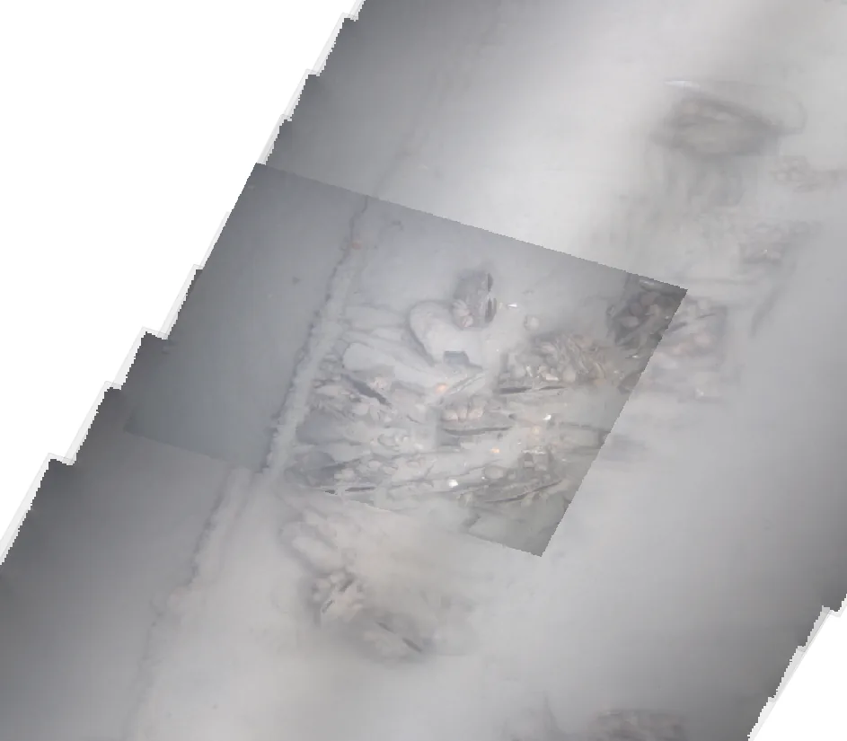
More from our seabed scans
Contact us to see how we could become your benthic monitoring partner.